OceanGrafix — Accurate Charts. Confident Boating.
Satellite Charts
Aerial images of your favorite boating destinations.
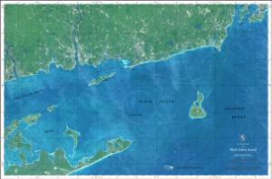
Created from images taken by satellite these charts are carefully color-matched to display the water color and details of your favorite boating destinations like never before. Satellite charts are printed on high-quality photo paper, ready for hanging or framing.
These charts are not intended to meet U.S. or IMO carriage requirements.