OceanGrafix — Accurate Charts. Confident Boating.
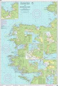
Nautical Chart Imray-C54
Galway Bay to Donegal Bay
Scale: 200000
Paper Size: 36.0" x 46.0"
Actual Chart Size: 28.9" x 42.7"
Edition Date: 2018-08-01
Corrected Date: 2024-02-01
The chart you are viewing is a navigational chart by Imray. This chart is available for purchase online.
