OceanGrafix — Accurate Charts. Confident Boating.
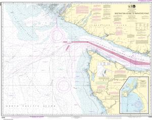
NOAA Nautical Chart 18480
Approaches to Strait of Juan de Fuca Destruction lsland to Amphitrite Point
Scale: 176,253
Paper Size: 36.0" x 46.0"
Actual Chart Size: 42.8" x 34.0"
NOAA Edition #: 32
NOAA Edition Date: 2013-01-01
OceanGrafix Edition #: 33*
OceanGrafix Edition Date: 2021-11-04*
NTM Notice/Date: 4824 2024-11-30
NTM: https://msi.nga.mil
LNM Notice/Date: 4624 2024-11-12
LNM: http://ocsdata.ncd.noaa.gov/nm
NTM = NGA Notice to Mariners
LNM = Local Notice to Mariners
This chart has been canceled so it is NOT updated weekly and does NOT include all the latest Notice to Mariners corrections. This chart is available for purchase online.
Buy Online chart 18480 - Approaches to Strait of Juan de Fuca Destruction lsland to Amphitrite Point
